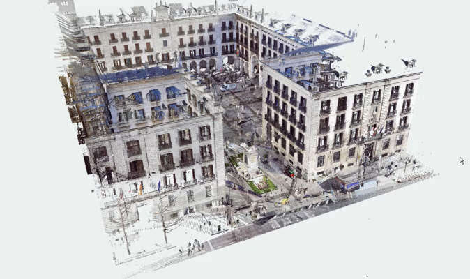
High-resolution topography is directed at massive data capture to yield digital models of high precision and resolution (digital twins). These models are extremely useful in the drafting, construction and exploitation phases of infrastructure, as well as for digital preservation of heritage assets. The main techniques that can be applied are: terrestrial laser scanner (TLS), whether fixed or mobile, and/or terrestrial photogrammetry and drone flights, all supported by global positioning systems (GNSS).
The technology is based on creating models of reality (point clouds), employing photogrammetric techniques or laser scanners. For this work, the group NEXUS has:
Laser scanners:
• laser scanners (TLS) which cover all scanning ranges and precisions.
• Wearable mobile laser scanner (WMLS).
• Short-range high-accuracy scanners. Photogrammetry:
• High-resolution cameras.
• Thermal camera.
• RTK, PPK and lidar drones.
Applications:
• Geometric studies of deformations.
• High resolution geometric characterisation of an element or infrastructure.
• High-resolution digital documentation (digital twins).
• Extremely detailed cartography and topography.
• Documentation of installations at industrial plants.